Bonneville Salt Flats at Dusk - Utah - Photographer's Guide
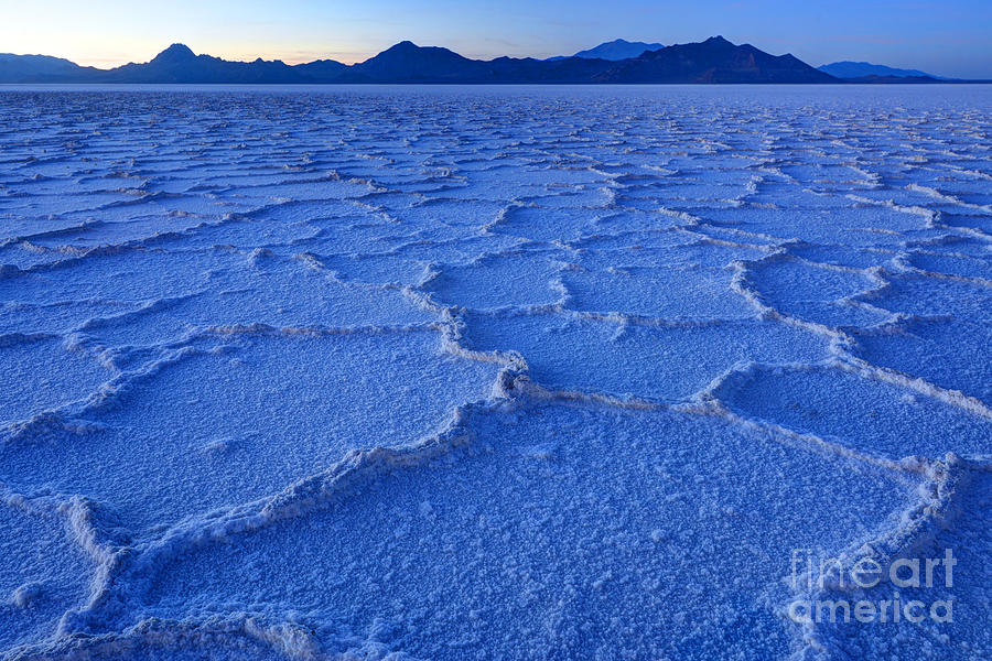
Purchase Print The Bonneville Salt Flats are part of the lake bed of Lake Bonneville. Lake Bonneville, the result of cooler temperatures and higher precipitation during the Late Pleistocene, was the largest of four deep water lakes to exist in the Great Basin over the last 800,000 years. At its greatest extent 18,000 years ago, the lake was more than 980 feet deep, and covered over 20,000 square miles, nearly the size of Lake Michigan. While the lake receded from its maximum extent over thousands of years, one particular event, the Bonneville Flood has been documented in the geologic record, when an alluvial dam on Marsh creek, part of the drainage of the Snake River, was finally breached by rising lake levels. This released over the course of a year, more than 1,200 cu mi of water into the Snake River, and lowered the lake more than 430 feet. The lake was named after Benjamin Louis Eulalie de Bonneville, an officer in the US military, fur trapper, and explorer of the American West. The largest extant remnants of the lake today are the Great Salt Lake, Utah Lake and Sevier Lake.
Ultimateplaces Photography